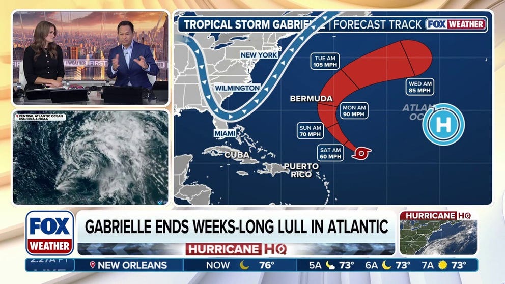
Tropical Storm Gabrielle is a tilted storm.It continues to operate under strong, dry upper winds, which are pushing the thunderstorms off to the east side and not allowing it to strengthen.But the hostile conditions are forecast to let up.
The strong
DEHRADUN, India - Torrential monsoon rains across northern India have killed more than a dozen people, but for one man caught in the flooding, clinging to a utility pole became his lifeline to survival.
The India Meteorological Department reported[1] that more
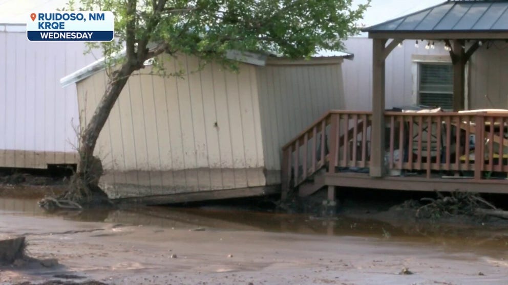
RUIDOSO, N.M.- Parts of Lincoln County in New Mexico[1], including Ruidoso, were put under a Flash Flood Warning on Thursday, as the National Weather Service warned of heavy rainfall associated with monsoonal moisture pushing through the state.
The warning was
SíO PAULO, Brazil – A "whirlpool of fire" was caught on video recently whipping through a burning field of sugarcane in Brazil.
The fire broke out on Sept.11 between the towns of Florida Paulista and Adamantina in the state of São Paulo, according to
ADAK, Alaska – A 7.8 earthquake[1] off the coast of Russia has triggered a Tsunami Advisory for the Aleutian Islands in Alaska on Thursday.
The quake struck just before 11 a.m.Alaska Daylight Time (3 p.m.ET) and was centered about 90 miles east of
ADAK, Alaska – A 7.8 earthquake[1] off the coast of Russia triggered a Tsunami Advisory for the Aleutian Islands in Alaska on Thursday, but the alert has since been canceled.
The quake struck just before 11 a.m.Alaska Daylight Time (3 p.m.ET) and was
CABO ROJO, Puerto Rico – A photographer Wednesday morning caught a rare phenomenon on video during thunderstorms in Puerto Rico[1].
The phenomenon, known as a gigantic jet, is a Transient Luminous Event (TLE) and looks like upside-down red lightning[2].
It's
Updated at 9:30 a.m.ET on Thursday, Sept.18, 2025
We’ll be LIVE with another Hurricane Q&A this afternoon at 4 p.m.ET on YouTube, Facebook, TikTok, X, Instagram and LinkedIn.Get your questions ready for me and Deputy Director Jamie Rhome from the
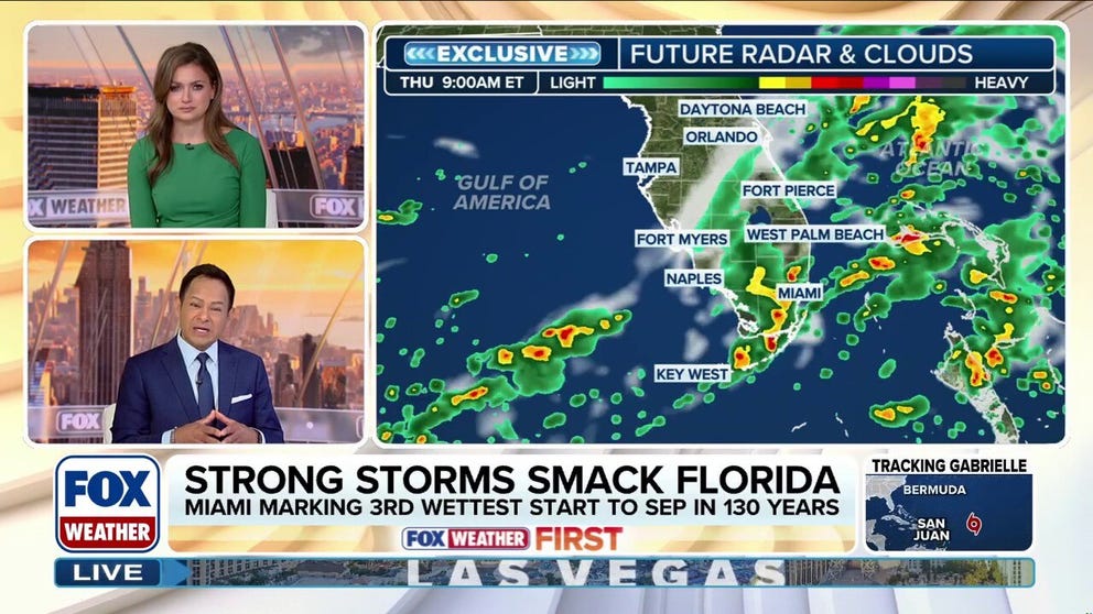
MIAMI – Seemingly unending rain has returned once again to South Florida[1] with daily afternoon thunderstorms[2] enhanced by tropical moisture[3] persisting through Sunday, part of what has been one of the wettest starts to September for many places along
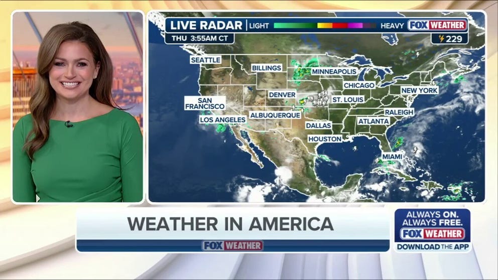
Welcome to the Daily Weather Update from FOX Weather.It's Thursday, Sept.18, 2025.Start your day with everything you need to know about today's weather.You can also get a quick briefing of national, regional and local weather[1] whenever you like with