Governments continue losing efforts to gain backdoor access to secure communications
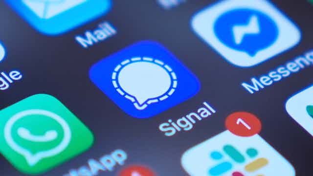
Reports that prominent American national security officials used[1] a freely available encrypted messaging app, coupled with the rise of authoritarian policies around the world, have led to a surge in interest in encrypted apps[2] like Signal and WhatsApp. These apps prevent anyone, including the government and the app companies themselves, from...