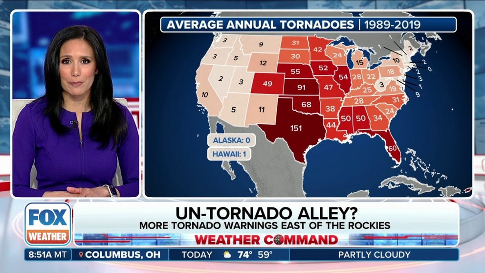
Un-Tornado Alley? This spot has gone 21 years since its last Tornado Warning
 02:48[1]
...
02:48[1]
...

...

On Wednesday, Oct. 25, Hurricane Otis made landfall near Acapulco, on Mexico’s southern Pacific coast, at 1:25 a.m. CDT as a Category 5 hurricane with sustained winds of 165 mph. The storm had rapidly intensified off the coast, and according to the National Hurricane Center, Otis was the strongest hurricane in the Eastern Pacific to make landfall in the satellite era.

Mitch began as a tropical storm over the southwestern Caribbean Sea on October 22, 1998, and strengthened to a hurricane by the 24th. Mitch then rapidly strengthened, becoming a monster Category 5 hurricane with a central pressure of 905 mb on the 26th. To this day, Mitch still ranks as the second-strongest October hurricane on record and remains tied for the eighth-most intense of any Atlantic hurricane on record.
Mitch made landfall in Honduras as a much weaker Category 1 hurricane, but it battered the offshore islands with high winds, waves and storm surge. The greatest impact, however, was from the widespread heavy rain and severe flooding in Honduras, Nicaragua, Guatemala and El Salvador that left thousands dead or missing and caused tremendous property, infrastructure and crop damage in Central America.

Scorching temperatures have put millions of Americans in danger this summer, with heat extremes stretching from coast to coast in the Southern U.S.
The arduous task of cleaning up from catastrophic flooding is underway across the Northeast after storms stretched the region’s flood control systems nearly to the breaking point.

As scorching heat grips large swaths of the Earth, a lot of people are trying to put the extreme temperatures into context and asking: When was it ever this hot before?

A heat dome occurs when a persistent region of high pressure traps heat over an area. The heat dome can stretch over several states and linger for days to weeks, leaving the people, crops and animals below to suffer through stagnant, hot air that can feel like an oven.
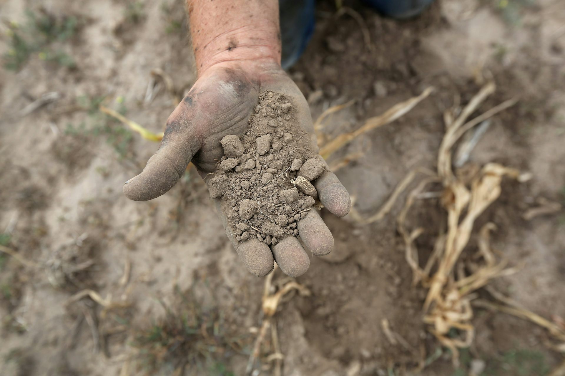
Flash droughts develop fast, and when they hit at the wrong time, they can devastate a region’s agriculture.
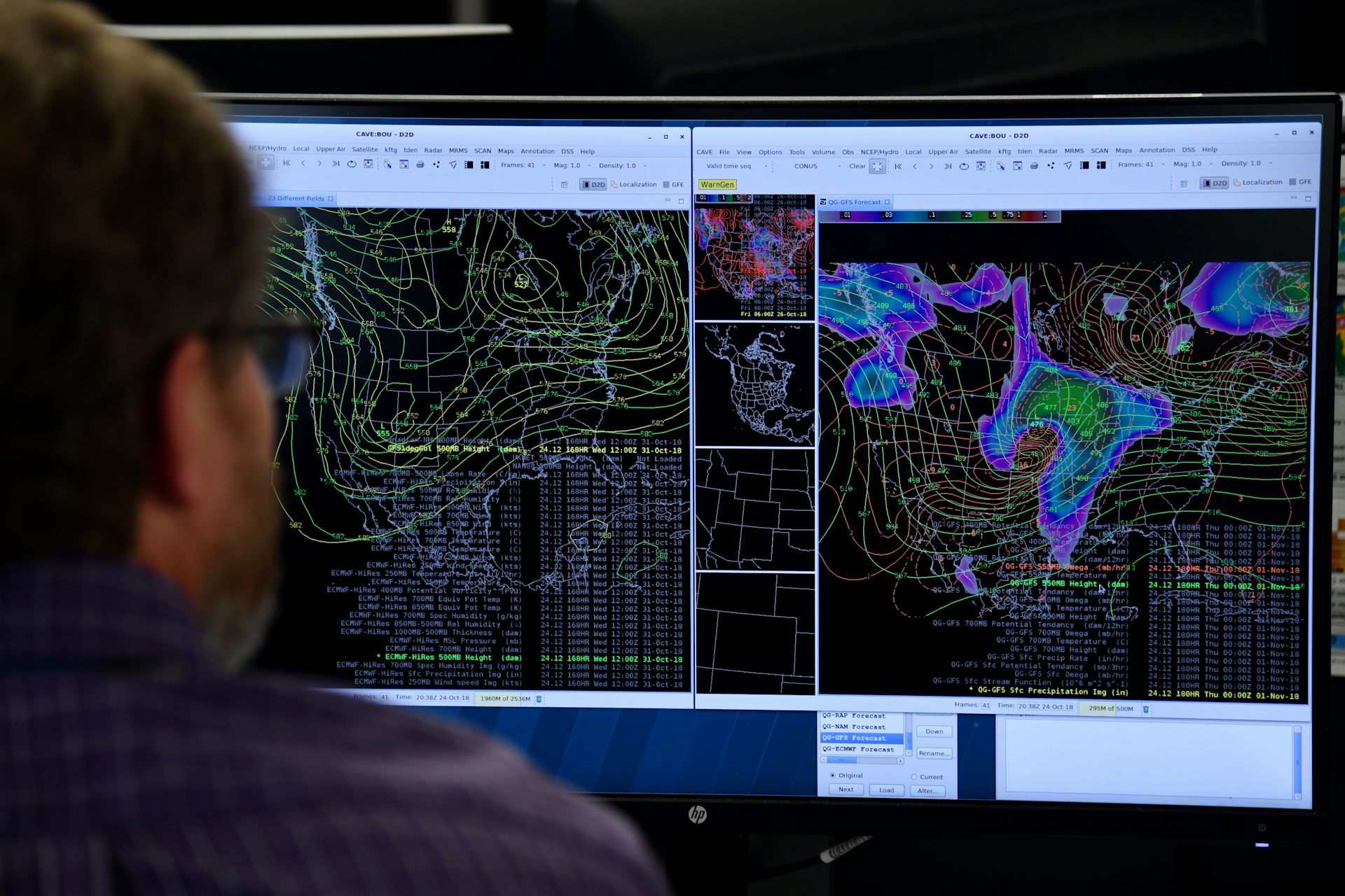
A century ago, English mathematician Lewis Fry Richardson proposed a startling idea for that time: constructing a systematic process based on math for predicting the weather. In his 1922 book, “Weather Prediction By Numerical Process,” Richardson tried to write an equation that he could use to solve the dynamics of the atmosphere based on hand calculations.